Construction & Development
Aerial data, progress documentation, and site visuals built for contractors, developers, and project teams.
At The Avian Co, we help construction teams see the full picture from above. From pre-site planning to progress updates and final project media, our drone services provide clear visuals, organized documentation, and valuable insight for every phase of development.
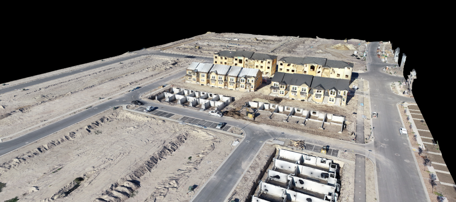
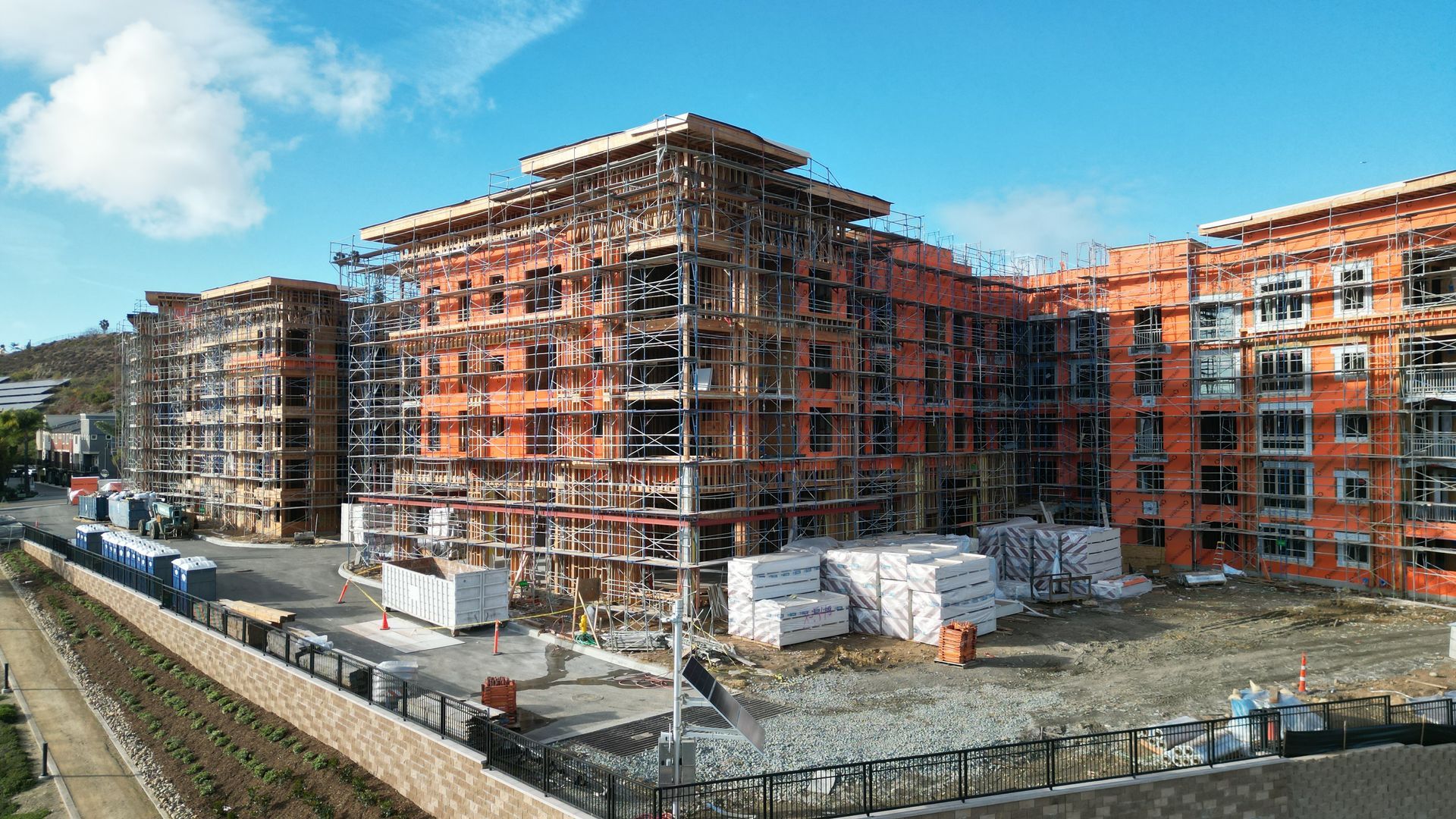
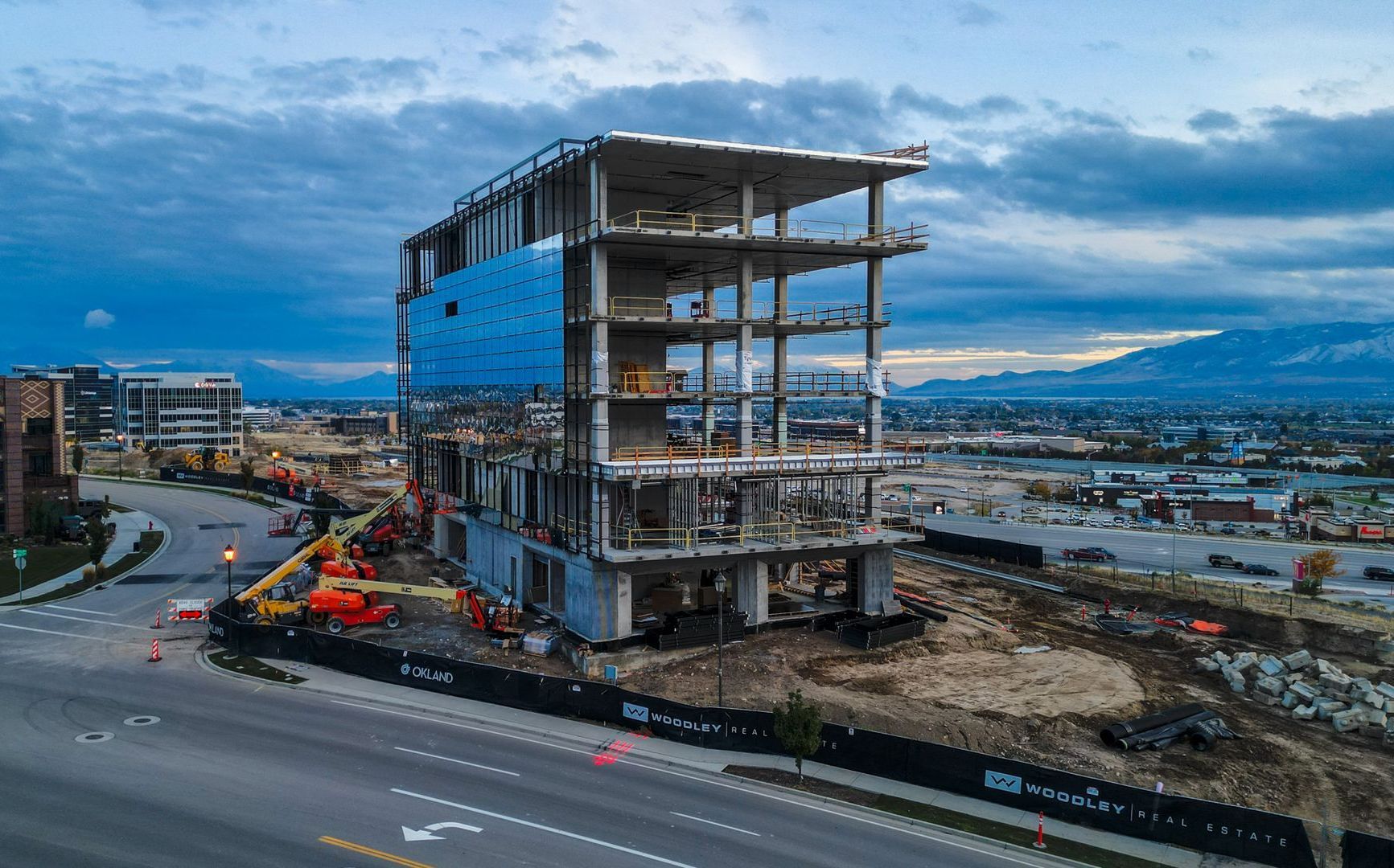
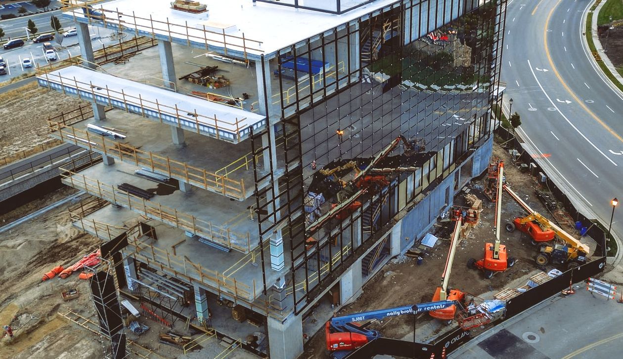
Site Progress Documentation
Track your project from start to finish with professional aerial updates. Our drone progress captures help contractors, developers, and stakeholders monitor site activity, document milestones, and keep everyone aligned without needing to walk the entire job site.
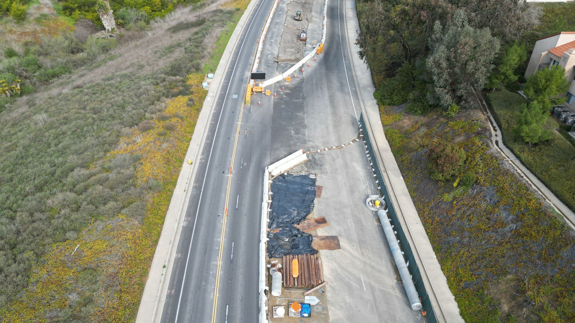
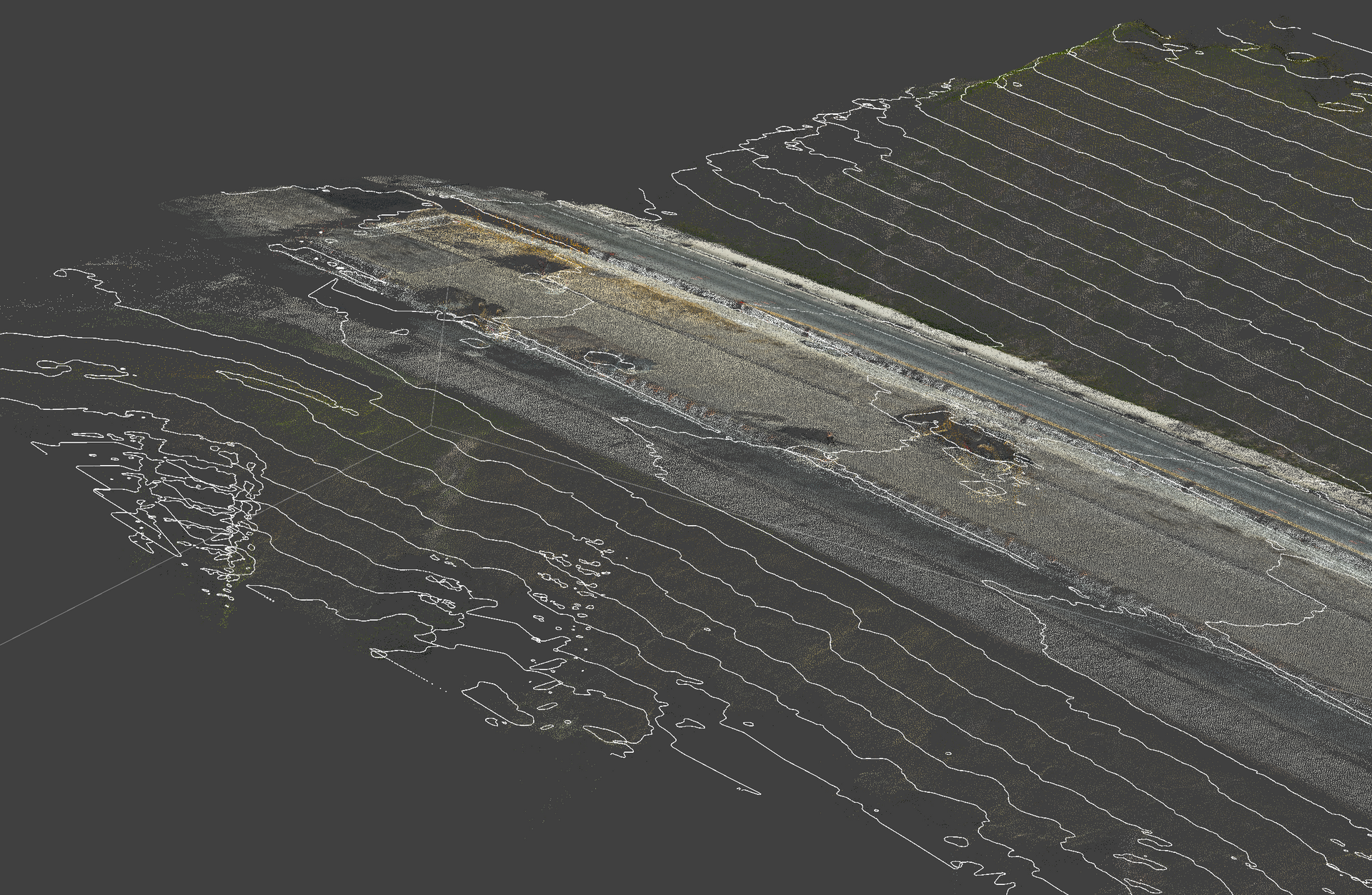
Construction Visuals Better than Satellite imagery
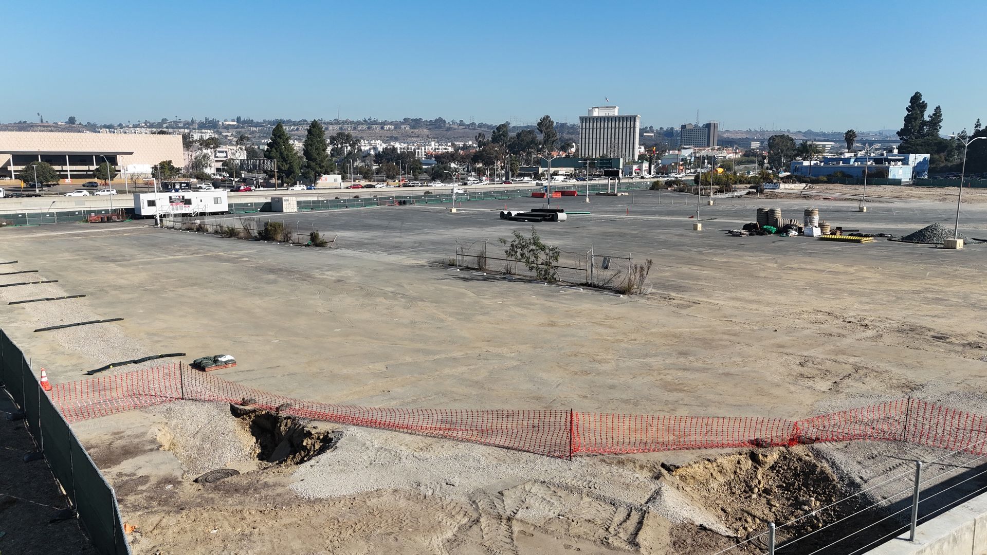
Before work begins, aerial footage can help document the existing condition of a property or project site. These visuals are useful for planning, proposals, permitting support, investor updates, and comparing before-and-after progress once the project is complete
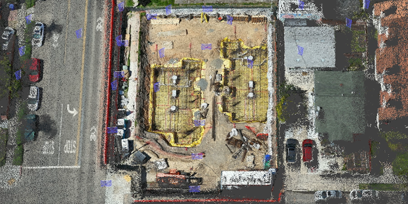
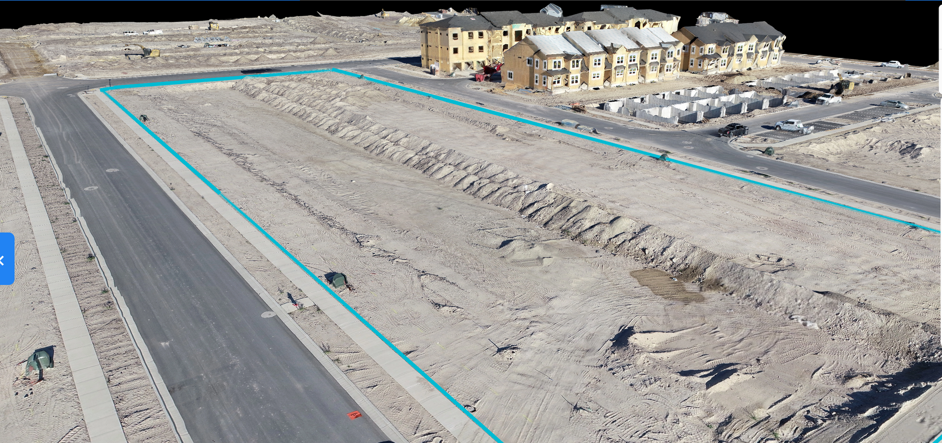
Aerial Mapping & Site Overview
Get a clear top-down view of your construction site, land, or development area. Aerial mapping helps visualize layout, access points, staging zones, grading progress, and overall site conditions so teams can make better decisions before and during construction.
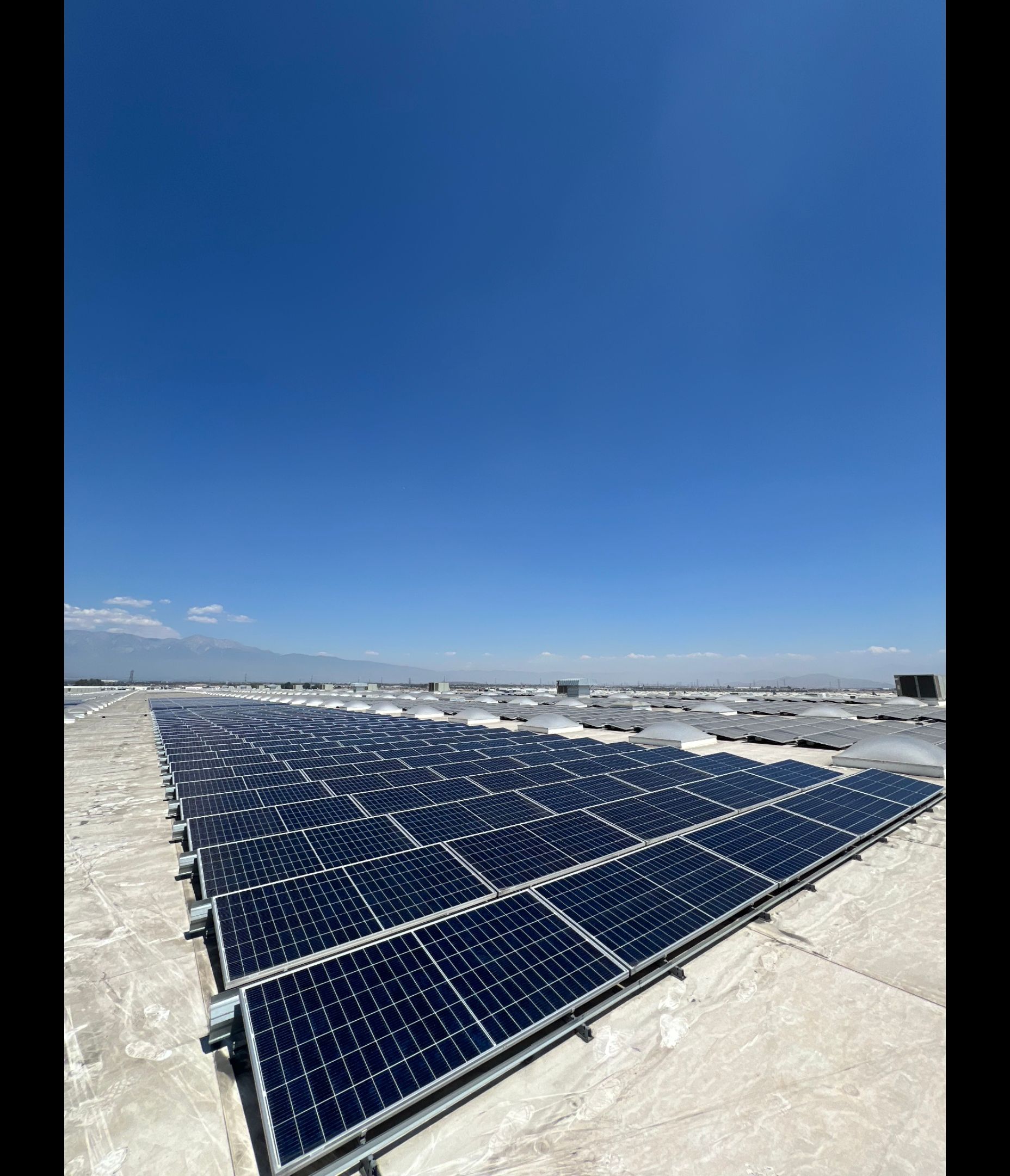
Contractor & Developer Media
Showcase your work with clean, professional drone media made for websites, proposals, social media, investor updates, and client presentations. From cinematic flyovers to polished project highlights, we help turn your construction work into marketable visual content.
How We Deliver Aerial Solutions
01
Discovery & Project Planning
We begin by understanding your project goals, operational needs, and the type of aerial data, media, or support required.
02
Capture Aerial Data
Using advanced drone systems, we capture high-resolution imagery, mapping data, FPV visuals, and project documentation with precision.
03
Data Analysis & Reporting
We organize and deliver the collected visuals, maps, models, or reports in a clear format your team can actually use.
04
Consulting & Ongoing Support
We help interpret the results, answer questions, and provide continued support so your project moves forward with clarity.
Project Portal Included
Easy Project Access
View your aerial photos, videos, maps, and project updates in one organized client portal. No digging through texts, emails, or random file links — everything is stored clearly for your team.
Flexible Deliverables
Whether you need progress photos, full video walkthroughs, mapping visuals, or monthly site updates, we can tailor the deliverables around your project needs, timeline, and budget.
Professional Aerial Services
We provide clean, reliable drone services for contractors, developers, and project teams. Every capture is planned with safety, clarity, and project communication in mind.
Project Portal Included
Each project can include access to a dedicated client portal where your team can review deliverables, download files, track updates, and keep your aerial documentation organized in one place.
A better way to engage your customers
Save time
Get clear aerial updates without walking the entire site. Quickly review progress, conditions, and project details from above.
Stay Organized
Keep photos, videos, maps, and deliverables in one project portal so your team can access everything when they need it.
Build With Confidence
Use aerial documentation to track milestones, support decisions, update stakeholders, and showcase your work professionally.
Project Highlights
Project name here
This is the text area for this paragraph. To change it, simply click and start typing.
Project name here
This is the text area for this paragraph. To change it, simply click and start typing.
Project name here
This is the text area for this paragraph. To change it, simply click and start typing.