Roadways & Infrastructure Development
Supporting transportation and critical infrastructure projects
At The Avian Co, we provide aerial solutions for roadways, bridges, utilities, and infrastructure projects that require clear documentation and consistent visibility. From progress tracking to asset visuals, our drone services help project teams monitor conditions, communicate updates, and support better decision-making from above.
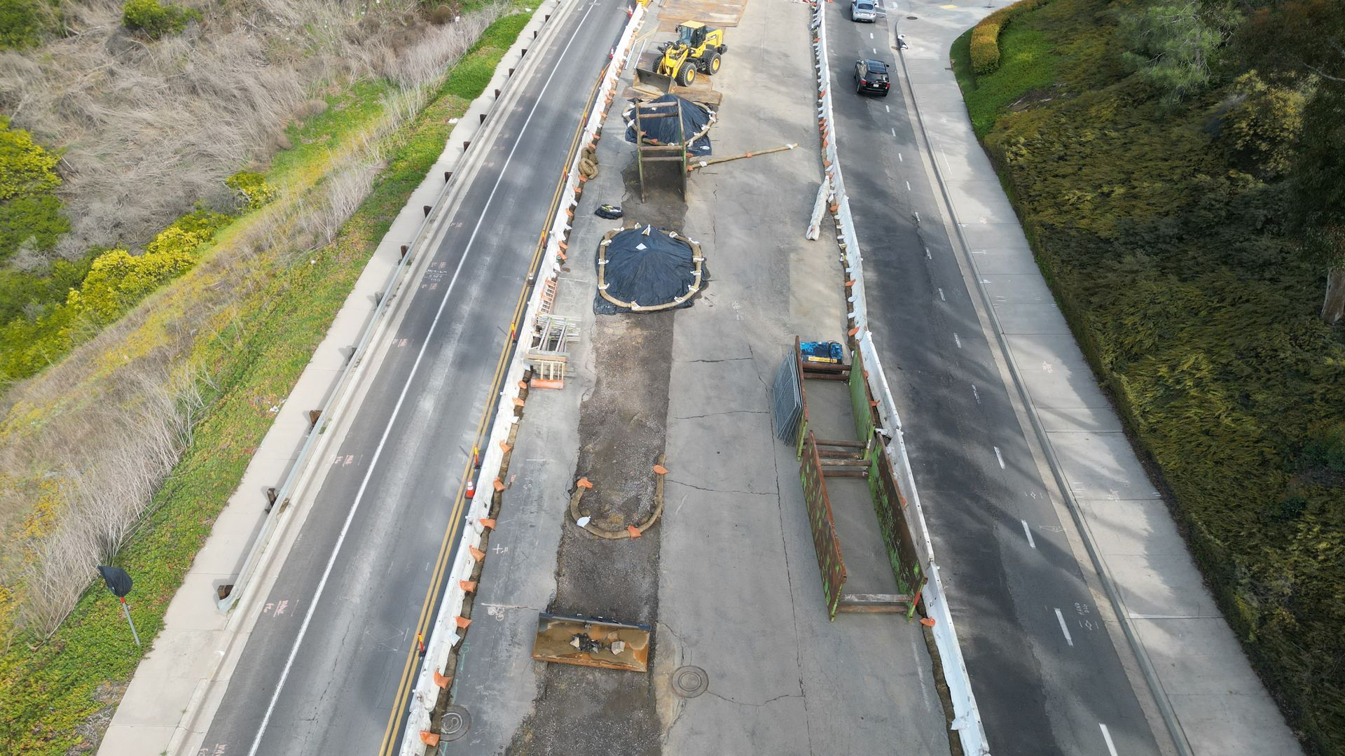
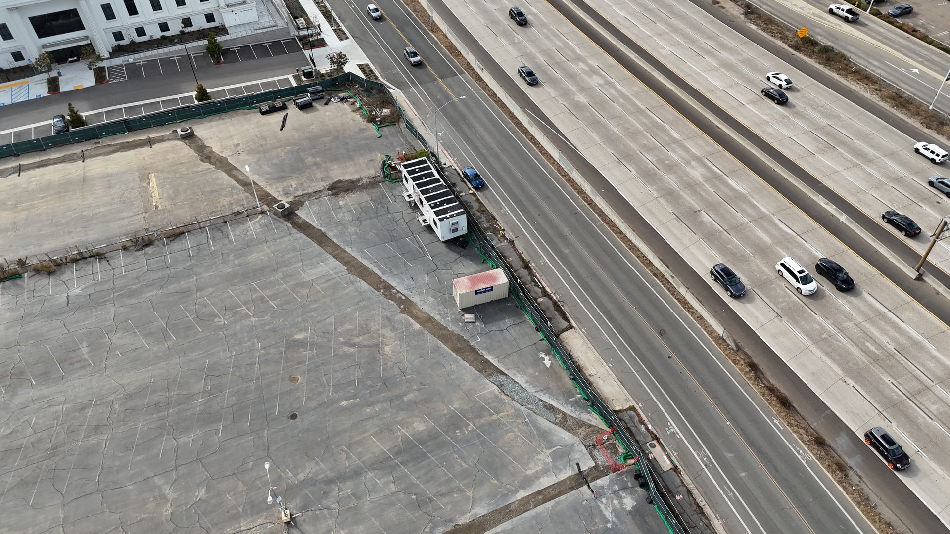
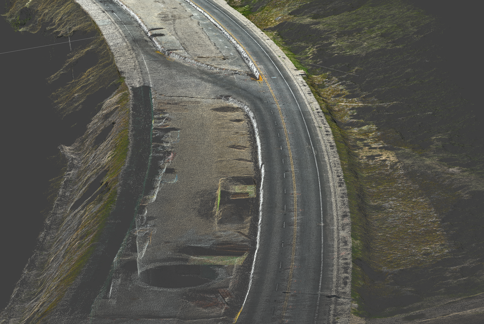
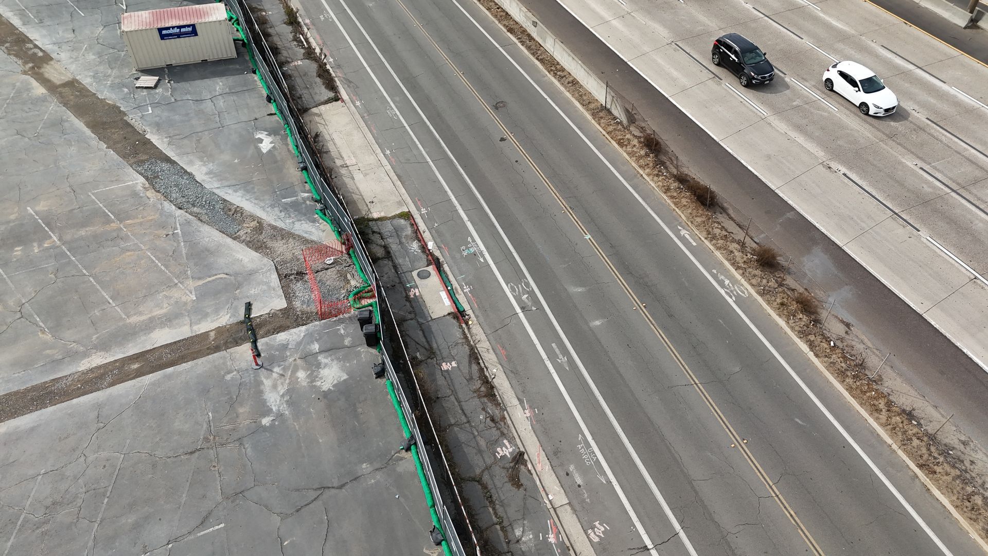
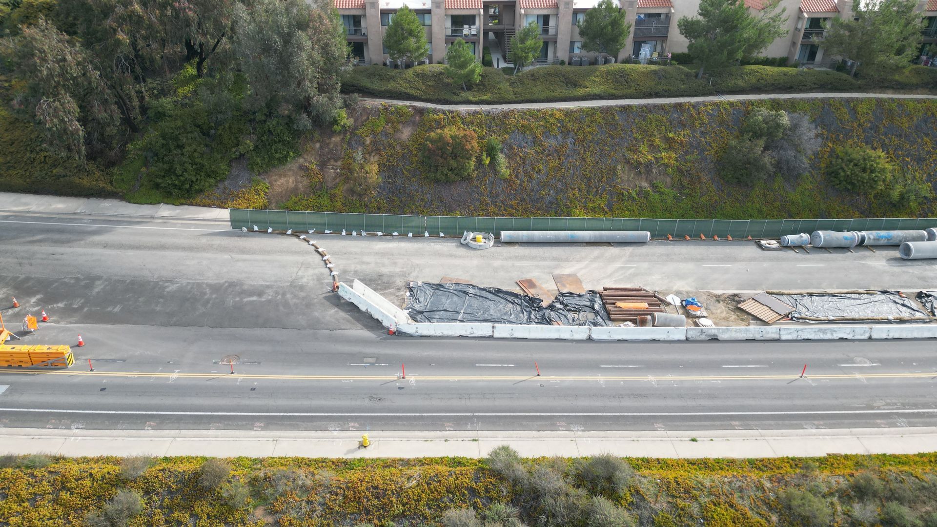
Roadway Documentation
Document roadways, intersections, access points, and construction zones with clean aerial photos and video. Our drone captures help teams review site conditions, track changes, and create a visual record of roadway work from planning through completion.
Bridge & Structure Inspections
Capture hard-to-reach views of bridges, overpasses, retaining walls, and other structures using aerial imagery. These visuals can support inspection teams by providing clear reference media, condition documentation, and safer access to elevated or difficult areas.
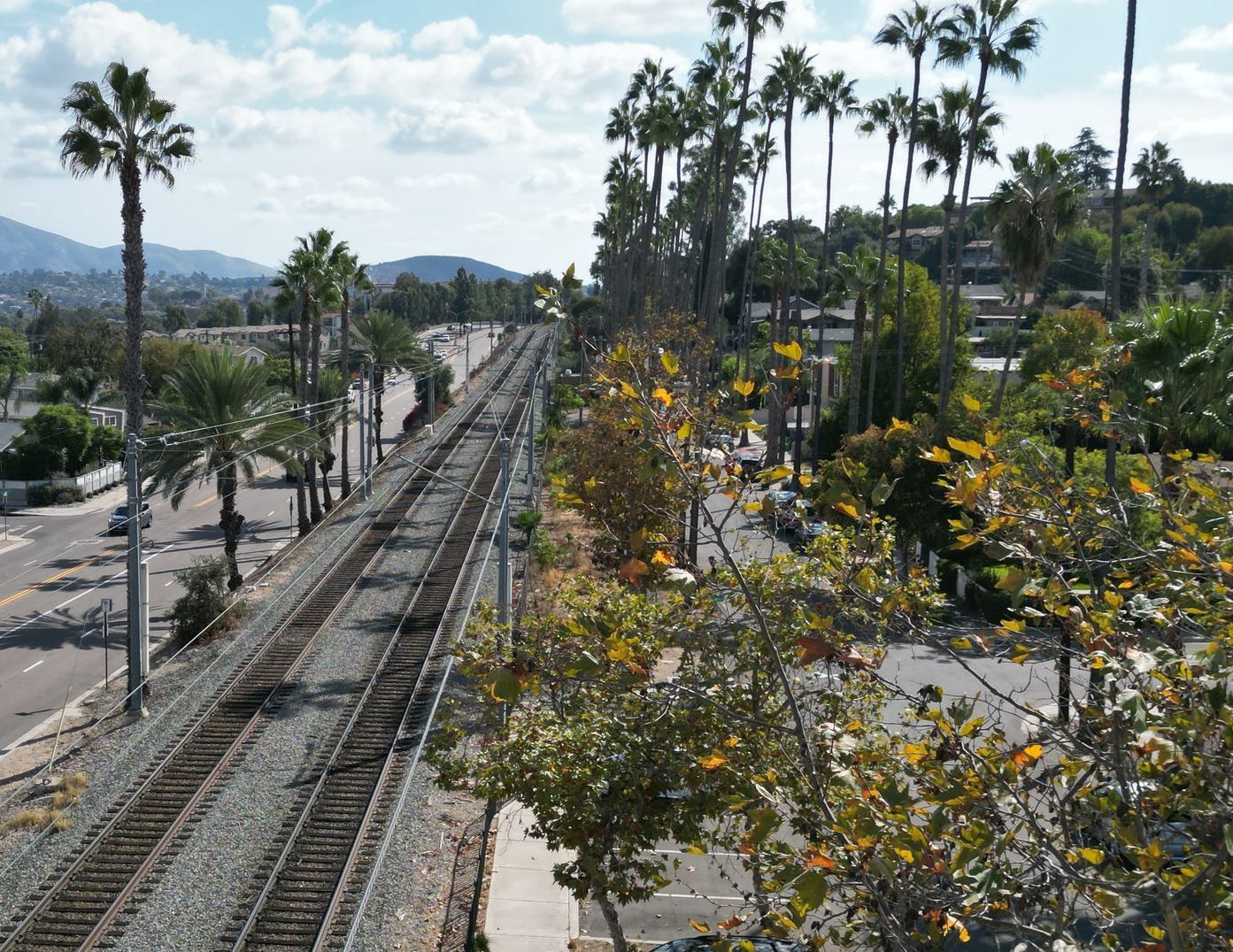
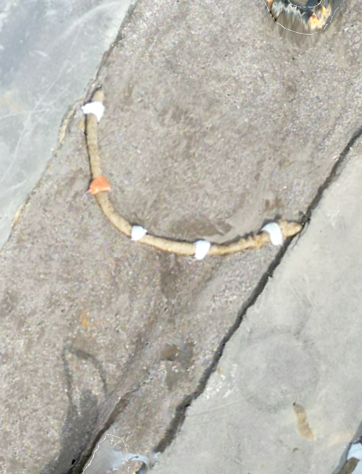
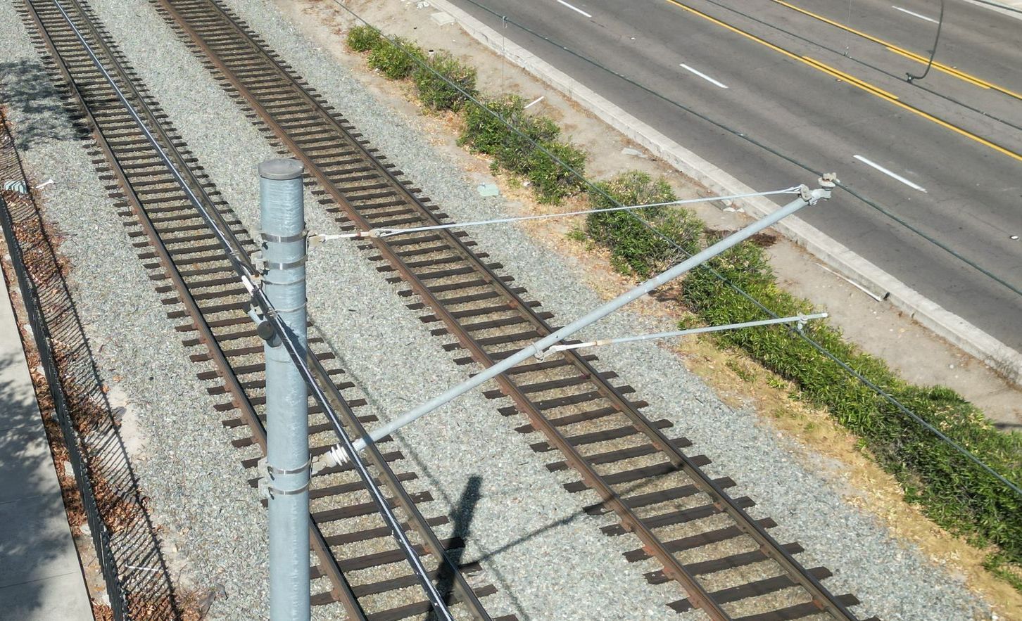
Utility Corridor Monitoring
Monitor utility corridors, easements, drainage paths, and right-of-way areas with aerial visibility. Drone documentation helps identify access issues, vegetation changes, site activity, and general corridor conditions without relying only on ground-level checks.
Project Progress Reports
Create consistent aerial updates for roadway and infrastructure projects. Progress reports can include photos, video clips, maps, and organized deliverables that help contractors, agencies, and stakeholders stay informed throughout the project timeline.
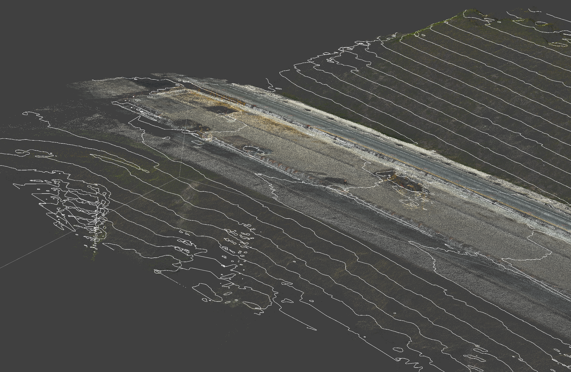
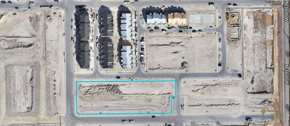
Aerial Survey Support
Support survey, planning, and engineering teams with aerial visuals that provide context before, during, and after site work. While not a replacement for licensed surveying, drone imagery can help teams understand layout, access, terrain, and project conditions faster.
A better way to engage your customers
Save time
Get clear aerial updates without walking the entire site. Quickly review progress, conditions, and project details from above.
Stay Organized
Keep photos, videos, maps, and deliverables in one project portal so your team can access everything when they need it.
Build With Confidence
Use aerial documentation to track milestones, support decisions, update stakeholders, and showcase your work professionally.
Project Portal Included
Easy Project Access
View your aerial photos, videos, maps, and project updates in one organized client portal. No digging through texts, emails, or random file links — everything is stored clearly for your team.
Flexible Deliverables
Whether you need progress photos, full video walkthroughs, mapping visuals, or monthly site updates, we can tailor the deliverables around your project needs, timeline, and budget.
Professional Aerial Services
We provide clean, reliable drone services for contractors, developers, and project teams. Every capture is planned with safety, clarity, and project communication in mind.
Project Portal Included
Each project can include access to a dedicated client portal where your team can review deliverables, download files, track updates, and keep your aerial documentation organized in one place.