

Beyond Aerial Imagery
From the Ground Up
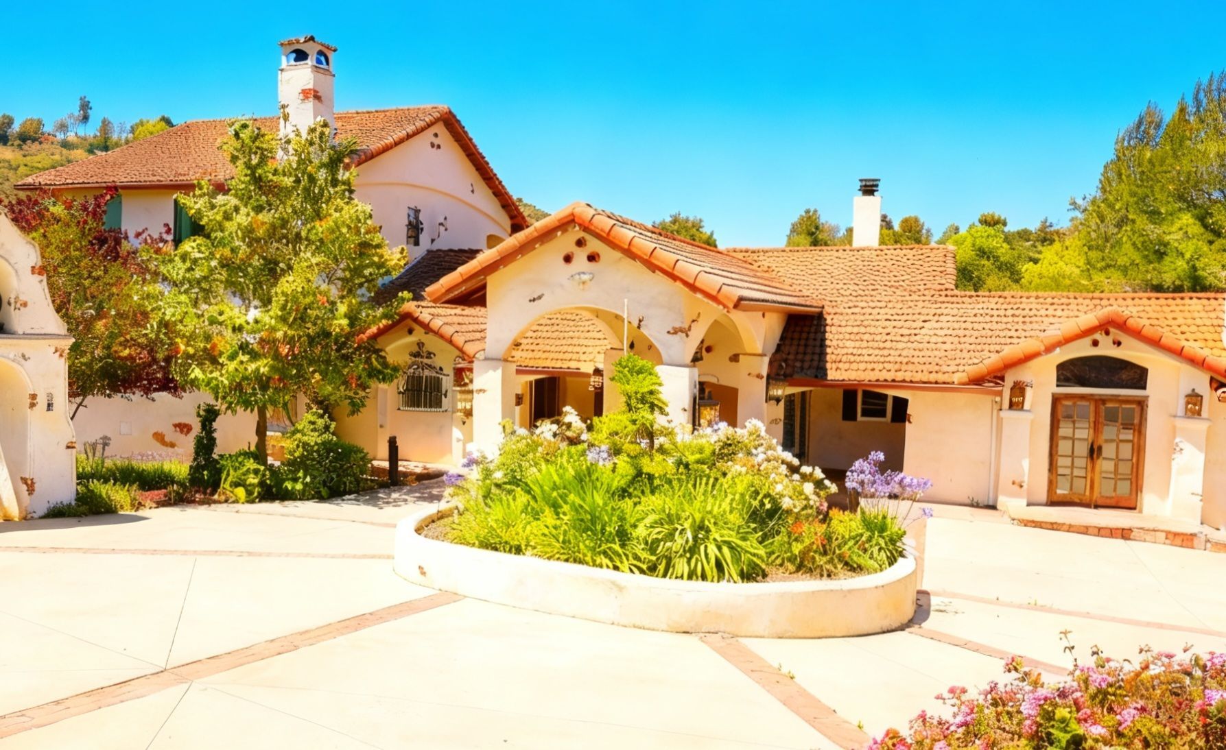
The Avian Co delivers modern Aerial Solutions for construction, infrastructure, municipalities, cinematic media, hospitality, and public safety. Through advanced drone operations, we provide aerial data, mapping, media production, and mission-focused support tailored to your industry.
From early creative projects to professional aerial solutions, The Avian Co has grown through hands-on experience, community work, and a commitment to helping businesses, cities, and public safety teams see the bigger picture from above.
2020
The idea began with a passion for drones, aerial creativity, and capturing the world from a new perspective.
2021
Flight skills, camera work, and visual storytelling continued to grow through hands-on practice and creative projects.
2022
The vision expanded into professional drone services built for businesses, properties, and community-focused work.
2023
The focus grew beyond drone media into aerial data, consulting, mapping visuals, and project documentation.
2024
Community projects, local relationships, and industry use cases helped shape the direction of the brand.
2025
The Avian Co developed into a full aerial solutions company with services for construction, infrastructure, municipalities, hospitality, and public safety.
2026
The Avian Co continues moving forward with aerial solutions, FPV drone services, project documentation, and community giveback work.
2027
THE MISSION GOES ON!
Proudly Working With Brands, Businesses & Communities
We partner with brands, builders, municipalities, hospitality teams, and public safety organizations to provide modern aerial solutions. Our work combines drone data, mapping, media, and FPV visuals to support real projects, real operations, and real community impact.
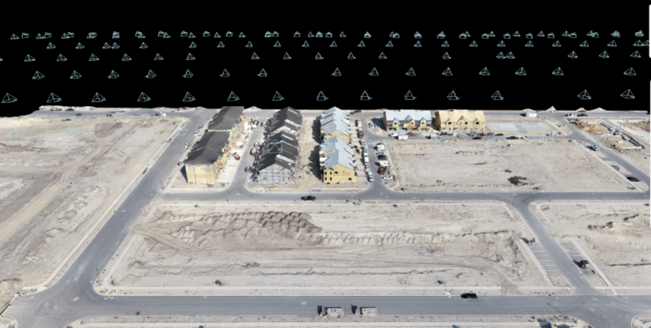
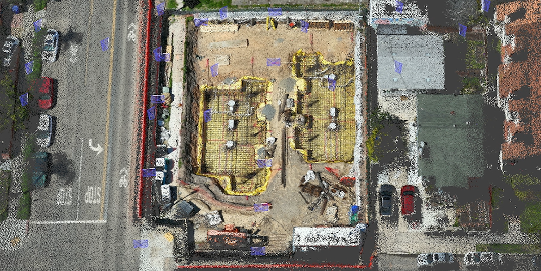
Construction and Development
We've got the knowledge you need.
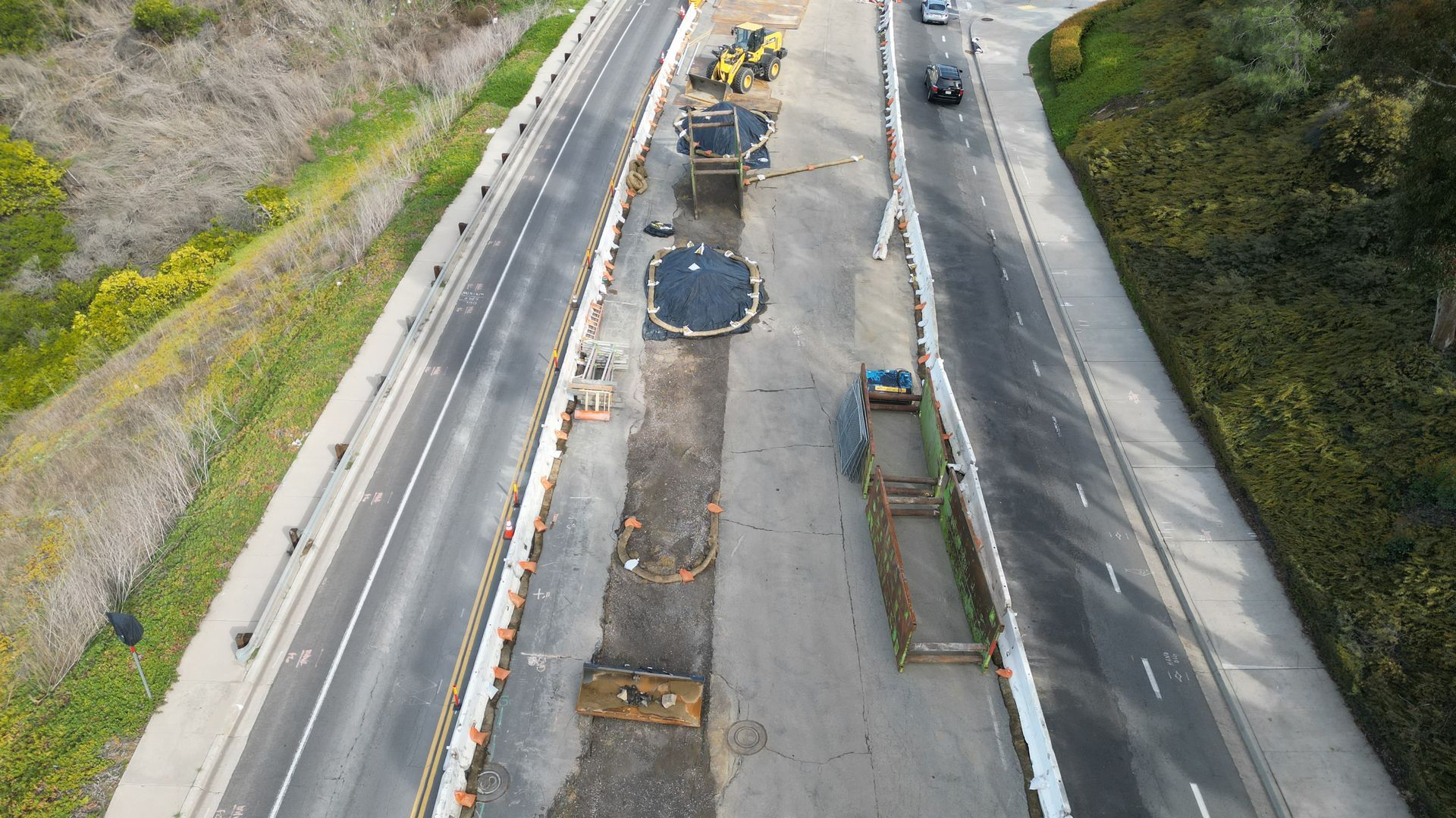
Roadways & Infrastructure
We've got the knowledge you need.
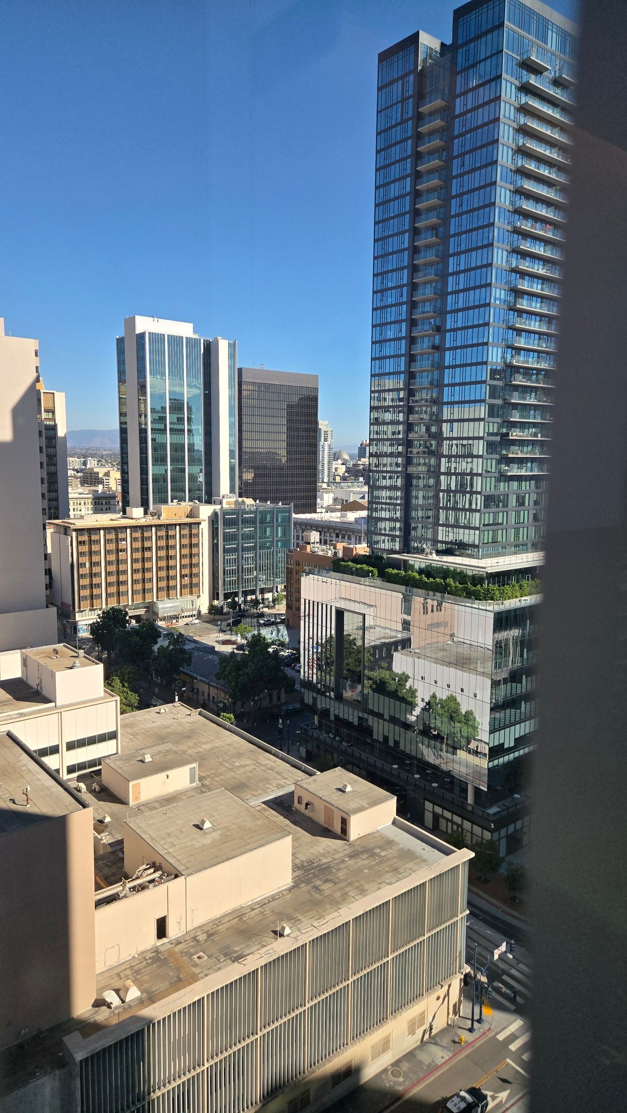
Municipality Solutions
We've got the knowledge you need.
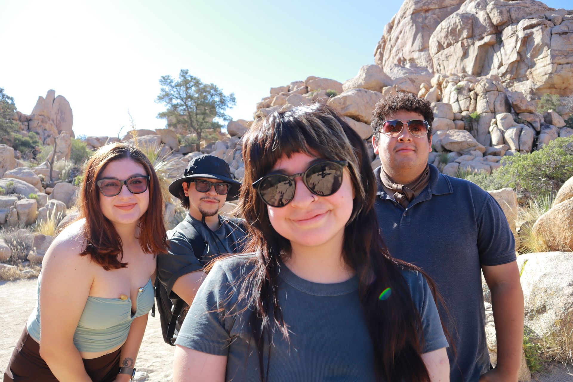
Meet Your Team
We’re a small, focused aerial solutions team built on creativity, precision, and community. From drone media and FPV visuals to mapping, project documentation, and public safety support, we bring a hands-on approach to every mission.


How We Deliver Aerial Solutions
01
Discovery & Project Planning
We begin by understanding your project goals, operational needs, and the type of aerial data, media, or support required.
02
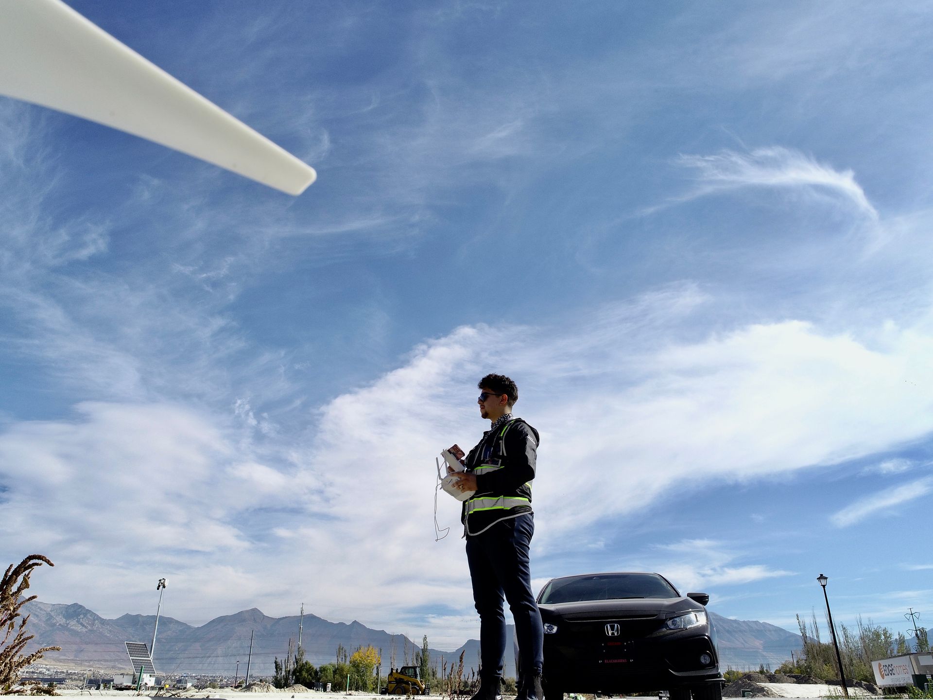
Capture Aerial Data
Using advanced drone systems, we capture high-resolution imagery, mapping data, FPV visuals, and project documentation with precision.
03
Data Analysis & Reporting
We organize and deliver the collected visuals, maps, models, or reports in a clear format your team can actually use.
04
Consulting & Ongoing Support
We help interpret the results, answer questions, and provide continued support so your project moves forward with clarity.
Helping Great Causes Take Flight
We partner with local organizations, nonprofits, and community leaders to create visuals that help people understand the mission, feel the impact, and get involved. From aerial footage to social media content, our goal is to help good work get seen.
Become a Community Partner

Pokey & Friends Rescue
Coming Soon
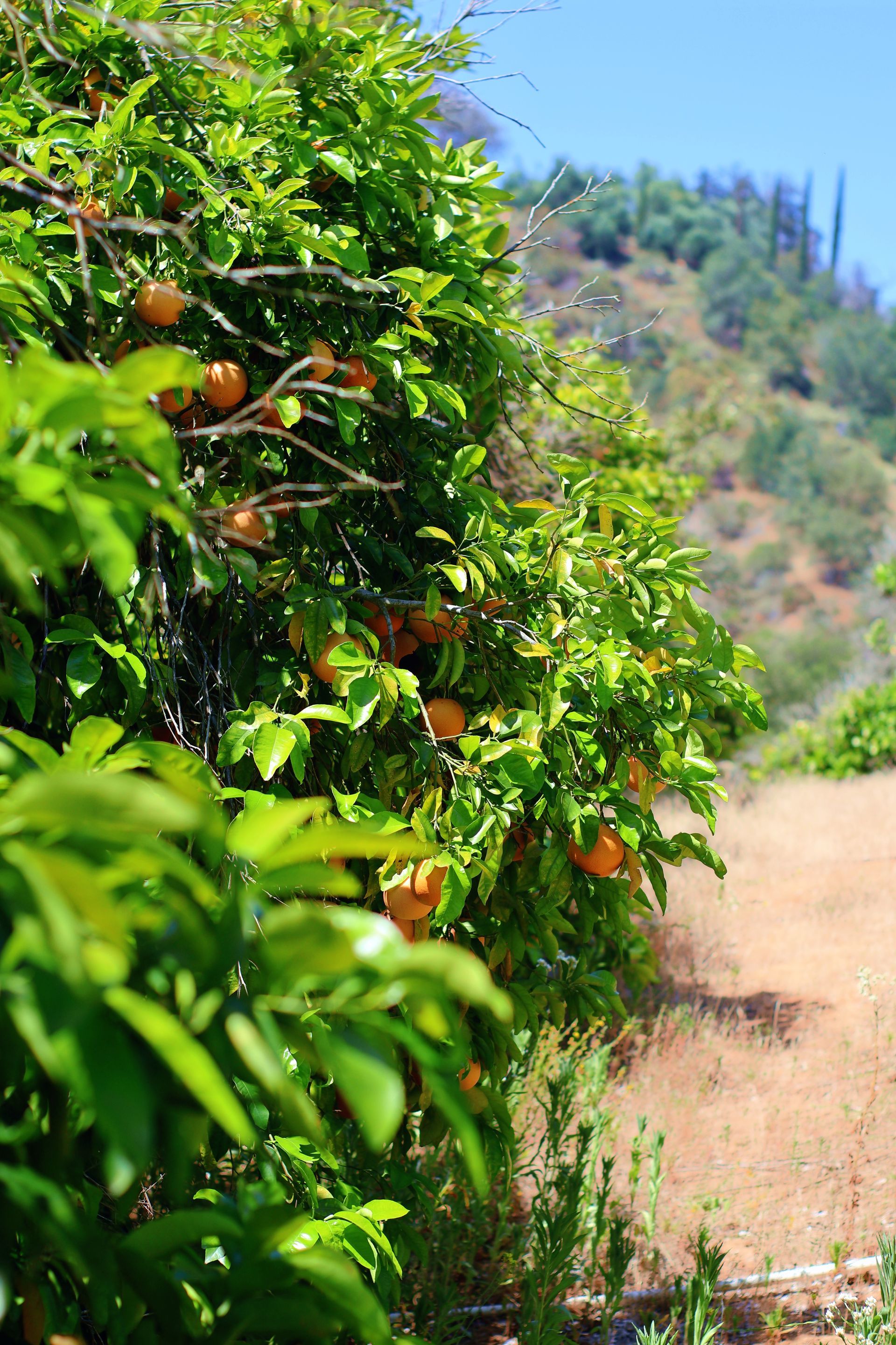
Food & Farming for a Cause
Coming Soon

Skates for Young Shredders
Coming Soon