

Municipal Solutions
Aerial solutions for smarter city planning and project management.
At The Avian Co, we support cities, agencies, and municipal teams with aerial documentation designed for planning, communication, and community visibility. From public works updates to parks, facilities, events, and city marketing, our drone services help local teams capture the bigger picture from above.
Park & Facility Mapping
Capture aerial views of parks, city buildings, recreation areas, parking lots, sports fields, and public facilities. Drone visuals can help support planning, maintenance reviews, improvement projects, and public-facing presentations.
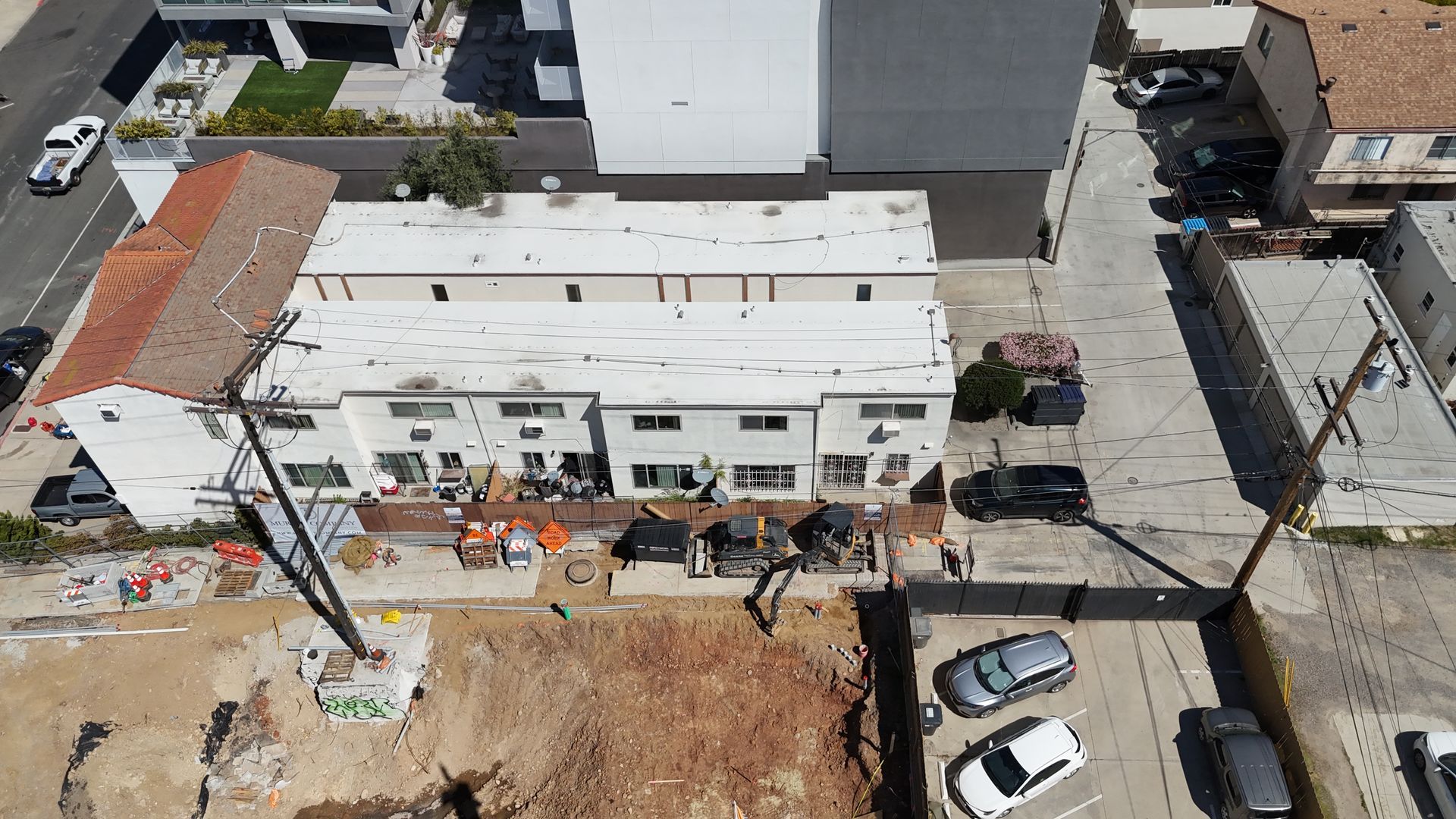
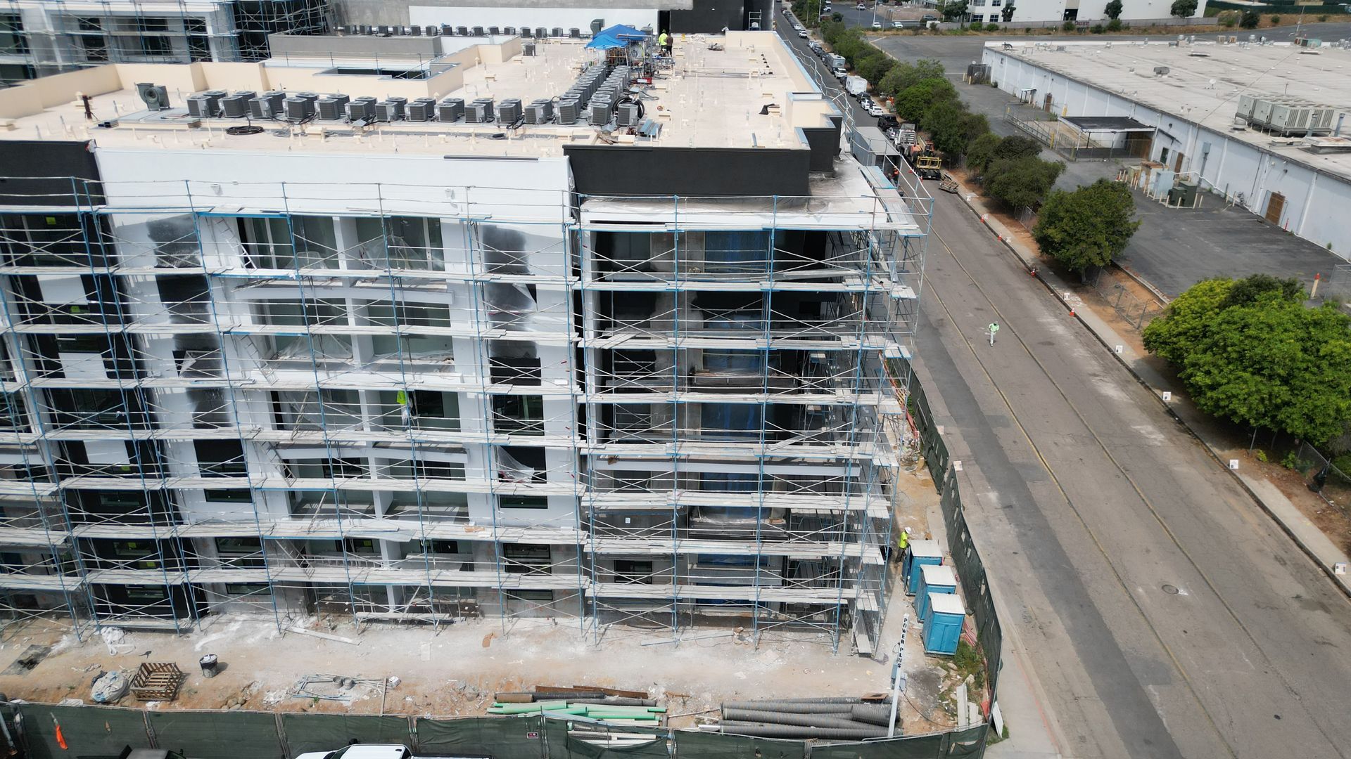
Community Development Updates
how residents and stakeholders how city projects are progressing. Aerial updates can highlight new developments, improvement projects, revitalization efforts, roadwork, park upgrades, and community investments in a clear and visual way.
Event
Monitoring
Support city events, festivals, parades, markets, and large community gatherings with aerial overview footage when permitted. Drone visuals can help document attendance, layout, traffic flow, vendor setup, and overall event impact.
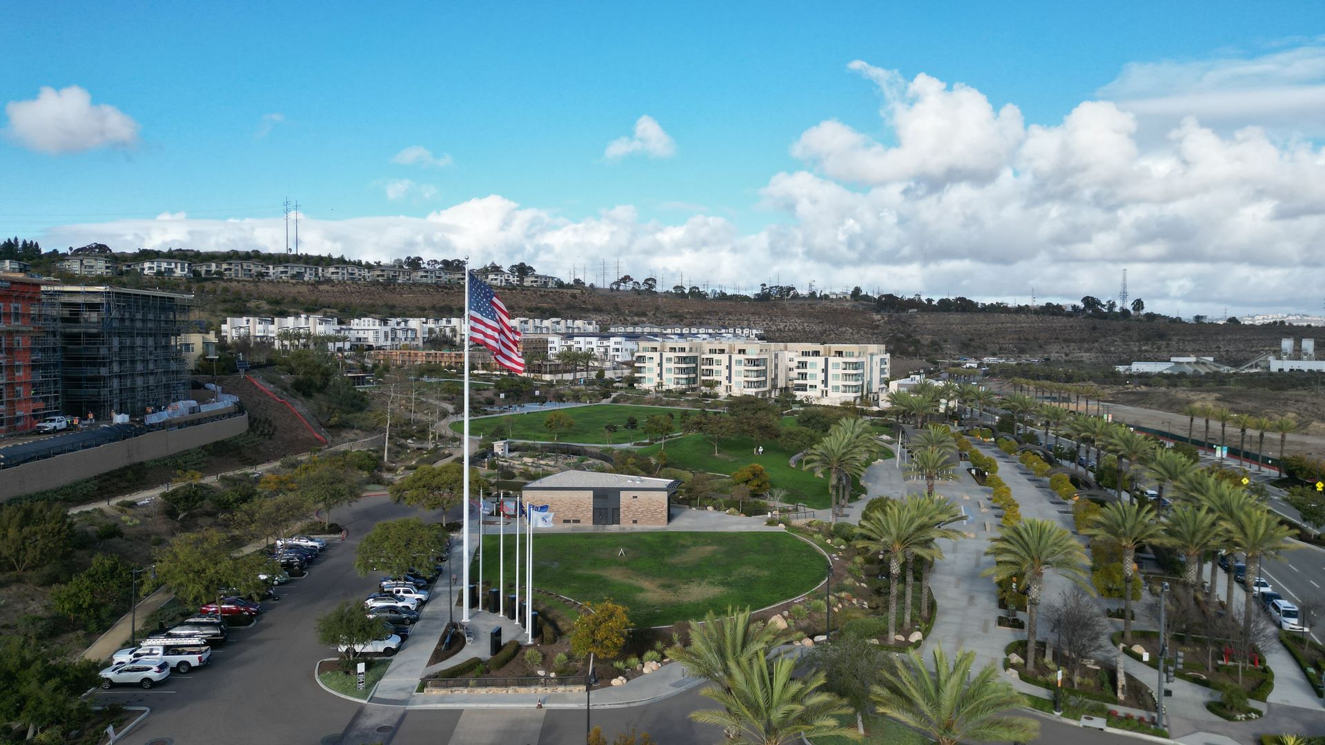
City Marketing Media
Showcase your city with cinematic aerial photos and video for websites, social media, tourism, economic development, public announcements, and community pride campaigns. We help cities tell their story from a professional aerial perspective.
A better way to engage your customers
Save time
Get clear aerial updates without walking the entire site. Quickly review progress, conditions, and project details from above.
Stay Organized
Keep photos, videos, maps, and deliverables in one project portal so your team can access everything when they need it.
Transparency With Confidence
Use aerial documentation to track milestones, support decisions, update stakeholders, and showcase your work professionally.
Project Portal Included
Easy Project Access
View your aerial photos, videos, maps, and project updates in one organized client portal. No digging through texts, emails, or random file links — everything is stored clearly for your team.
Flexible Deliverables
Whether you need progress photos, full video walkthroughs, mapping visuals, or monthly site updates, we can tailor the deliverables around your project needs, timeline, and budget.
Professional Aerial Services
We provide clean, reliable drone services for contractors, developers, and project teams. Every capture is planned with safety, clarity, and project communication in mind.
Project Portal Included
Each project can include access to a dedicated client portal where your team can review deliverables, download files, track updates, and keep your aerial documentation organized in one place.